Business Sectors
Events
Contents
Register to read more articles.
Bulk carrier owner G2 Ocean invests in voyage optimisation solutions
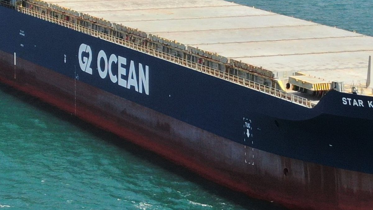
Norwegian shipowner G2 Ocean has started using StormGeo for weather routeing, voyage planning and vessel performance monitoring
With 120 open hatch and conventional bulk carriers, G2 Ocean is using weather information to improve navigation safety as it operates on 37 trade routes, transporting wood pulp and other forest products, aluminium, steel, granite and industrial minerals on these dry cargo ships.
It has signed with StormGeo for weather routeing, is installing BonVoyage System (BVS) on its ships and is using the s-Insight platform for weather insights and route optimisation.
StormGeo’s s-Insight is a cloud-based self-service web portal for commercial, technical and environmental fleet performance management.
It provides onboard and onshore validation of ship-to-shore data streams and provides G2 Ocean with a complete overview of its entire fleet, with real-time information on vessel location, weather conditions, speed and fuel consumption.
G2 Ocean will use s-Insight to optimise voyage speed to meet estimated time of arrivals for its fleet.
“Through the s-Insight platform, we gain good insight into current and historical voyage routeing and performance, which help us make better decisions,” said G2 Ocean fleet performance manager Trond Aga Haug.
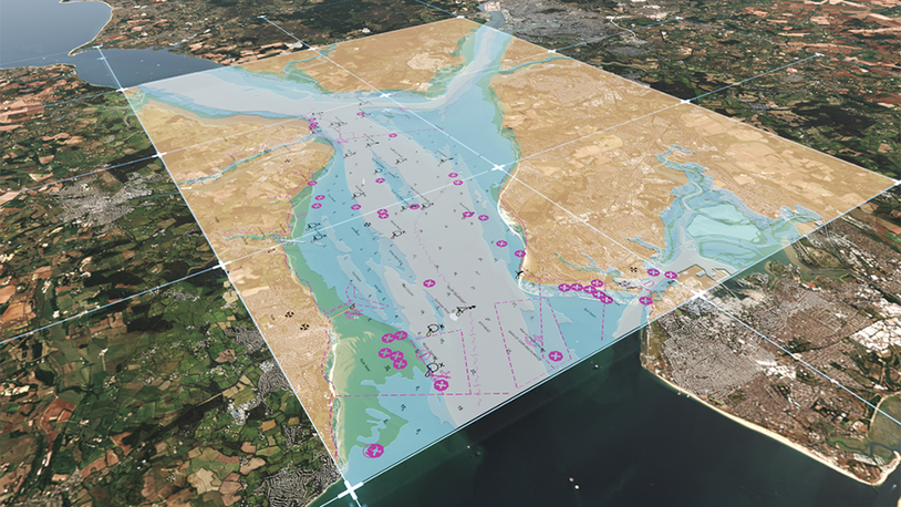
BVS helps owners optimise ship routes through advanced voyage planning and reliable weather forecasts.
“BVS gives our crew high-quality and accurate weather maps at their fingertips – assisting the master and officers in making good routeing decisions and safeguarding the vessel, crew, and cargo,” said Mr Haug.
StormGeo vice president of route advisory services Rolf Reksten said BVS and s-Insight will enhance G2 Ocean’s ship navigation and regulatory compliance. “We have deep experience in routeing bulk carriers and offer a future-proof solution that not only provides weather routeing and fleet performance services, but also lays the foundation for an environmentally compliant operation,” said Mr Reksten.
In another partnership, StormGeo is collaborating with class society DNV to offer anti-roll assistance and seakeeping services. This application will enable ship captains to identify and act on potential rolling risks in time to eliminate container loss threats.
This year, StormGeo has implemented DNV’s Anti-Roll Assist application in its digital onboard platform, s-Planner, enabling ship navigators to recognise and avoid synchronous or parametric rolling risks.
The Ship Navigation and Route Optimisation Webinar Week will be held from 5 July 2022. Register your interest and access more information here
Related to this Story
Events
Maritime Environmental Protection Webinar Week
Cyber & Vessel Security Webinar Week
The illusion of safety: what we're getting wrong about crews, tech, and fatigue
Responsible Ship Recycling Forum 2025
© 2024 Riviera Maritime Media Ltd.
