Business Sectors
Contents
Nordics-based deal sees electronic navigation charts integrate risk planning
A Norwegian provider of voyage planning devices has added a layer to electronic navigational charts to enable planning of secure routes
Maritime risks have been integrated into electronic navigational charts along planned ship routes after an agreement was signed in Norway between Navtor and Risk Intelligence.
Norway-based Navtor said it has added a new layer of information to its voyage planning stations for ship bridges that provides real-time risk intelligence to navigators and masters in the deal. The new agreement will utilise Denmark-headquartered Risk Intelligence’s real-time maritime security risk data, integrated into Navtor’s NavStation 6.4, with the new, interated software update released on 29 September 2025.
This adds a customisable notifications layer onto electronic navigational charts (ENCs) that NavStation displays for route planning.
Navtor said this should enable navigators and relevant shore-side teams to plan and understand voyages with safety and simplicity.
NavStation is installed on more than 18,000 vessels, providing various information to users, including safe navigation routes, weather updates, port information, environmental regulations and NAVAREA warnings on top of ENCs.
Risk Intelligence monitors, validates, analyses and assesses security threats to shipping worldwide and claims it provides intelligence to 16% of the world’s merchant fleet and maritime, energy and insurance clients, as well as government clients in 10 NATO member countries.
Navtor director of electronic navigation, Timo Essers, says integrating risk analysis was, until now, “a missing piece of the puzzle.”
Adding this layer of information in real time provides officers and shore staff with accurate up-to-date intelligence to reroute ships or plan safe and secure voyages.
“The dynamic nature of risk has never been more apparent,” said Mr Essers. “From conflict and ongoing geopolitical unrest, to piracy, narcotics, and people smuggling - in addition to increasing navigational jamming and spoofing - today’s shipping companies face a complex and ever-evolving threat landscape.”
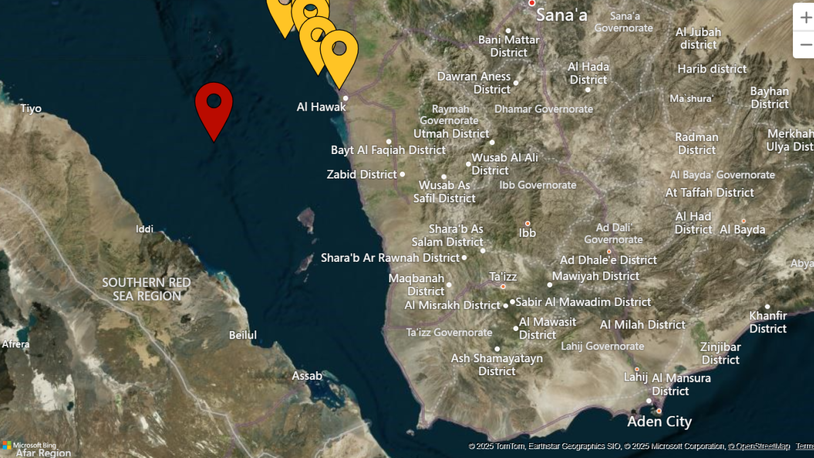
For example, threat hotspots continue to be in the Gulf of Guinea, Red Sea, eastern Mediterranean, Malacca Strait and Black Sea.
“Navigators are, in many ways, on the front line here, and as such are under immense pressure,” said Mr Essers.
“How can they be expected to know exactly what is happening, where it is happening, assess a multitude of parameters, and ensure safe voyages?”
An answer is providing real-time risk intelligence to mariners on a specialised voyage planning station with alerts for security changes in areas around planned routes.
“Integrating that intelligence into NavStation provides huge value and enables safer and smarter navigation of a dynamic risk reality,” said Mr Esser.
This service will be available as a subscription offering on NavStation and can be tailored for ongoing global coverage or for specific operations on individual ships or across fleets.
Risk data appearing on NavStation is continuously updated, and can be assessed in detail to “unlock a new level of situational awareness,” said Mr Essers.
Risk Intelligence founder and chief executive Hans Tino Hansen said optimal analysis of security risks is required for safe voyages.
“Properly understanding maritime risk requires dedicated sources, resources, constant vigilance, and the ability to view individual issues through the lens of wider context and specialist analysis,” he said. “Bridge officers, or office-based teams, juggling multiple responsibilities simply cannot do this.”
Riviera’s Maritime Navigation Innovation Webinar Week, 24-26 November, will focus on the future of maritime navigation: from S-100 integration and autonomous ship operations, to advanced voyage planning in a rapidly changing world. Use this link for more information and to register for these three informative webinars
Related to this Story
Events
Maritime Decarbonisation, Europe: Conference, Awards & Exhibition 2025
Offshore Support Journal Conference, Americas 2025
LNG Shipping & Terminals Conference 2025
© 2024 Riviera Maritime Media Ltd.


