Business Sectors
Events
Contents
Register to read more articles.
IMO: states must tackle GNSS interference to protect ships and crew
Ship navigation and positioning systems are increasingly being hit with jamming and signal spoofing, endangering vessels and crew
An increase in shipping routes that are affected by jamming and spoofing of GPS and other GNSS services is putting seafarers’ lives at risk, according to a report from shipping’s international regulatory body, the International Maritime Organisation (IMO).
The IMO report concludes that governments worldwide must do more to stop rising levels of deliberate interference in Global Navigation Satellite Systems (GNSS) by rogue states, terrorists and criminals.
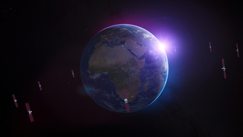
Rising numbers of incidents where the Global Positioning System (GPS) and other GNSS constellations, such as the European Union’s Galileo, are being jammed or spoofed in more maritime areas, particularly those close to conflict zones are creating conditions that increase the likelihood of collisions and groundings.
These cases of harmful interference are typically either aimed at particular bands of radio frequencies or specific vessels, but are adding to the already high number of safety risks affecting shipping and seafarers.
IMO said it is highly concerned about the rising incidents of GNSS jamming and spoofing in areas such as the Black Sea, eastern Mediterranean and Red Sea.
The organisation worked with the International Telecommunication Union (ITU), the International Civil Aviation Organization (ICAO) in a joint call on states to urgently enhance their protection of these critical radio-frequency bands.
“The safety of seafarers and shipping relies on the resilience of systems to support safe navigation and communication,” said IMO secretary-general Arsenio Dominguez.
“Interference with GNSS poses a serious risk to shipping activities, which could cause collisions and groundings. I urge all member states to act to protect these critical systems.”
Ships and ports rely on GNSS for a wide array of applications relating to position, velocity and precise universal and local time, which are used mainly for navigation purposes and on systems that are part of the Global Maritime Distress and Safety System (GMDSS).
The three UN specialised agencies, working together, have identified five key actions required from member states, including protection of frequency bands allocated to the Radio Navigation Satellite Service (RNSS) from harmful interference affecting civilian and humanitarian operations.
States are urged to strengthen resilience of RNSS-dependent navigation, positioning, and timing systems; maintain conventional navigation infrastructure for contingency support; enhance collaboration between regulatory, aviation, maritime, defence and enforcement authorities; and implement comprehensive interference reporting mechanisms.
Regulation V/19.2.1.6 of the International Convention for the Safety of Life at Sea (SOLAS), 1974, requires that “all ships, irrespective of size, shall have a receiver for a global navigation satellite system or a terrestrial radio navigation system, or other means, suitable for use at all times throughout the intended voyage to establish and update the ship’s position by automatic means.”
IMO’s Maritime Safety Committee, through MSC.1/Circ.1644, has “urged member states to take actions necessary to minimise interference coming from their territory, as required under the ITU Radio Regulations; consider issuing warning notices or advisories to mariners specifying the time periods and areas impacted by any known interferences to minimise negative effects upon maritime operations; and consider enacting measures that prevent unauthorised transmissions on recognised satellite navigation system frequencies.”
Article 4.10 of the ITU Radio Regulations states: “Member states recognize that the safety aspects of radionavigation and other safety services require special measures to ensure their freedom from harmful interference; it is necessary therefore to take this factor into account in the assignment and use of frequencies.”
Ships and offshore services impacted
During Riviera’s Annual Offshore Support Journal Conference, Awards and Exhibition, London in February 2025, Hexagon technical sales manager Edward Milne explained that GNSS jamming can be targeted in a narrow band on one constellation of satellites, or on a frequency band, or can be set to wideband, impacting all GNSS signals.
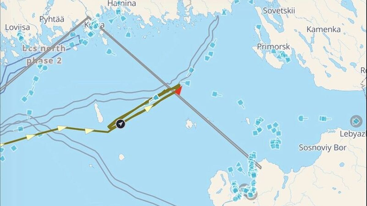
He said ships and offshore support services have been impacted by GNSS jamming in the Black Sea, Baltic Sea, eastern Mediterranean and in the Red Sea in 2024. In the eastern Mediterranean, GNSS spoofing and jamming have been challenges since 2018.
GNSS jamming impacts ship navigation with data used by ECDIS and other bridge equipment and affects DP of offshore vessels, leading to potential accident risks. These effects can be mitigated by using independent positioning and navigational sensors, such as inertial navigation devices or anti-jamming antennas. Hexagon tested its anti-jamming devices during Jammertest trials in Andoya Norway.
GNSS interference is one of many rising challenges in maritime safety. Join the upcoming FREE Empowering choice in maritime safety: the role of Iridium GMDSS webinar to explore how modern, resilient technologies are supporting safer navigation and emergency response at sea.
Related to this Story
Events
Offshore Support Journal Conference, Americas 2025
LNG Shipping & Terminals Conference 2025
Vessel Optimisation Webinar Week
© 2024 Riviera Maritime Media Ltd.


