Business Sectors

Contents

Register to read more articles.
NUS launches microsatellite to test VDES technology
A microsatellite for maritime communications developed by the National University of Singapore (NUS) was launched last week
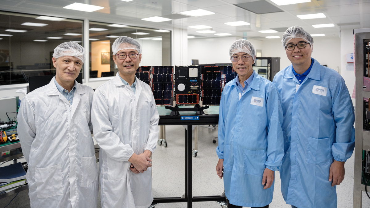
Lumelite-4 was successfully launched by the Indian Space Research Organisation (ISRO) at the Satish Dhawan Space Centre in Sriharikotta, India on 22 April.
The microsatellite was developed by Satellite Technology And Research Centre (STAR) under NUS’ College of Design and Engineering, and A*STAR’s Institute for Infocomm Research (I2R).
The satellite will test the VHF data exchange system (VDES) technology for potential maritime use such as vessel tracking, real-time maritime traffic updates and reliable ship-to-ship or ship-to-port communications.
NUS’ STAR designed and built Lumelite-4 using the university’s patented modular and scalable satellite bus system with fault tolerant features. A*STAR’s I2R developed the experimental satellite-based communication hardware.
According to NUS, the effort is “the first demonstration of satellite-based VDES for maritime applications in southeast Asia.”
At present, ocean shipping uses automatic identification system (AIS), an automatic tracking system that uses transceivers on ships for collision avoidance by allowing the maritime authorities to track and monitor vessel movements using broadcast information on identification, location, course and speed.
The VDES payload carried by Lumelite-4 has several advantages over the current AIS system. Greater bandwidth, range, accuracy, capacity, security, flexibility and global coverage, giving maritime operators a more potent tool to improve communications and operational efficiency.
Potential applications of VDES include real-time maritime traffic and asset tracking as well as two-way messaging, in contrast to the one-way reporting supported by AIS. Designed by A*STAR’s I2R, the VDES payload can reduce signal interference and increase tracking capability in a dense environment, and has low-complexity radio resource management.
A*STAR’s I2R and ST Engineering previously developed the VDES Mobile Station, which can achieve up to a 32-times higher data rate than the current AIS system. Supported by terrestrial VDES, the VDES Mobile Station enables higher data throughput and higher quality data delivery among ship-to-ship and ship-to-shore two-way communications.
The latest satellite VDES complements the terrestrial VDES, to enable a more robust maritime communications service, allowing vessel tracking not just in coastal areas but also in high seas and in areas without a terrestrial network.
The NUS and A*STAR team started working on the Lumelite-4 project in December 2018, and recently completed the design, assembly, integration and testing of Lumelite-4 with VDES payload.
STAR director, Professor Low Kay Soon said, “Over the next few months, the team aims to demonstrate the space-based implementation of high performance VDES on a small satellite for maritime applications. The success of this mission will further strengthen Singapore’s position as an innovative space technology hub for small satellites.”
Weighing in at 16 kg, Lumelite-4 was deployed by ISRO’s Polar Satellite Launch Vehicle flying at 586 km above the sea level on an orbital plane known as the near-equatorial orbit.
Lumelite-4 is 20 cm by 30 cm and one of four microsatellites STAR is developing. Under STAR’s satellite road map until 2027, the NUS satellite team is working on a series of small satellites for a distributed space system, comprising a number of small satellites flying in tandem for formation and constellation mission with potential use for maritime traffic management.
Sign up for Riviera’s series of technical and operational webinars and conferences in 2023:
- Register to attend by visiting our events page.
- Watch recordings from all of our webinars in the webinar library.


Related to this Story


AI, digital twins help design cyber-secure, green SOVs


Events

LNG Shipping & Terminals Conference 2025

Vessel Optimisation Webinar Week

Marine Coatings Webinar Week
© 2024 Riviera Maritime Media Ltd.